Search
DEN
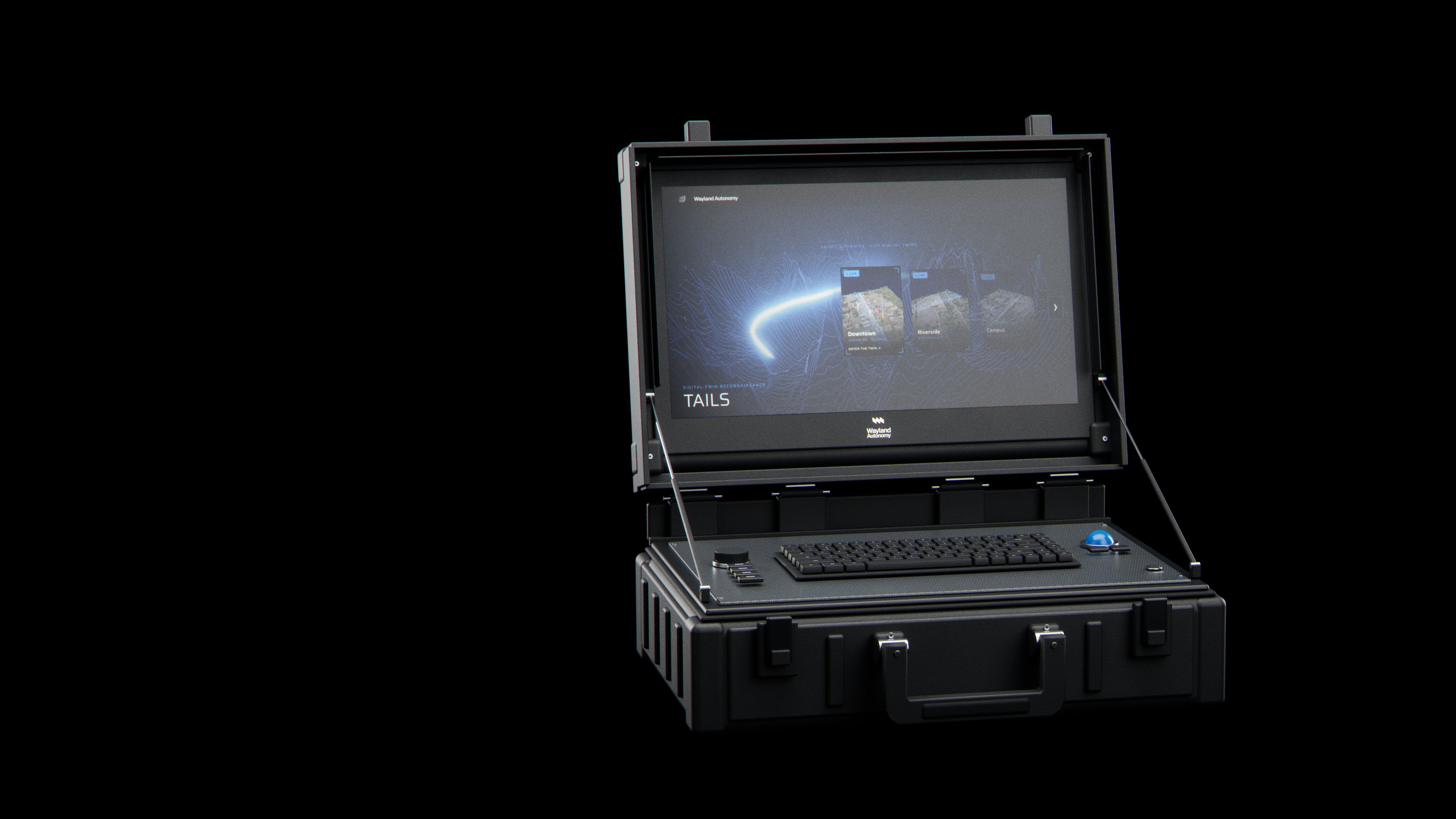
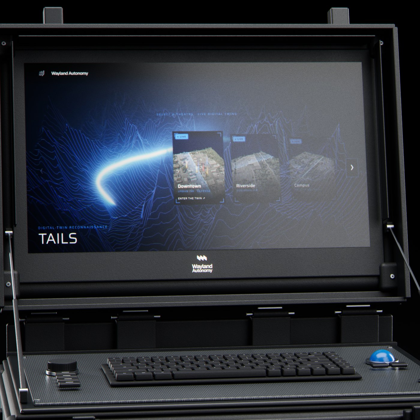
Rugged operator console
Query the ground in seconds.
- 2 s refresh
- 19 KB / packet
- Ground detail 1-3 cm
The live map · The digital twin
One living ground.
Every detection, traced.
Every detection placed on the ground in real time, on a photoreal 3DGS twin you can measure, orbit and replay.
One model holds both streams: the path of everything that moves, plus the routes and approaches that hold against real terrain.
- 01
Perceive
Each source lands in one coordinate frame and aligns to the same ground. Every flight refines the model.
- 02
Decide
Detection, change, and priority layers ride a persistent 3DGS twin. Operators see what changed, where, and what warrants attention.
- 03
Remember
Every state is recallable. Replay any past flight, export to any GIS, hand the same ground to robots and vehicles.