Search thephysical world.
Wayland: the way of the land. We track the path of everything that moves across a living map of any real area, rebuilt by every flight.
 Made in the USA
Designed, built, and assembled in the United States.
In contested environments
Products
Built to run where nothing else does.
- On-platform
- No GPS required
- 2-second refresh
- No cloud or connectivity required
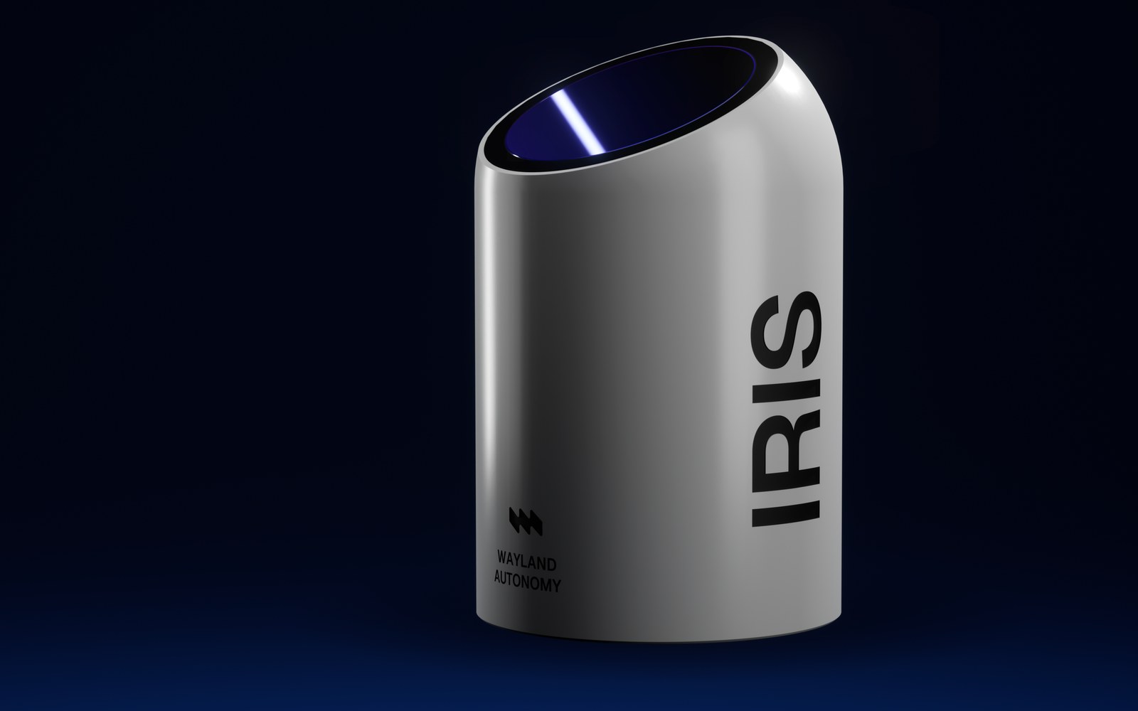 Explore IRIS
Capture
IRIS
Multi-sensor capture pod
Capture everything that moves.
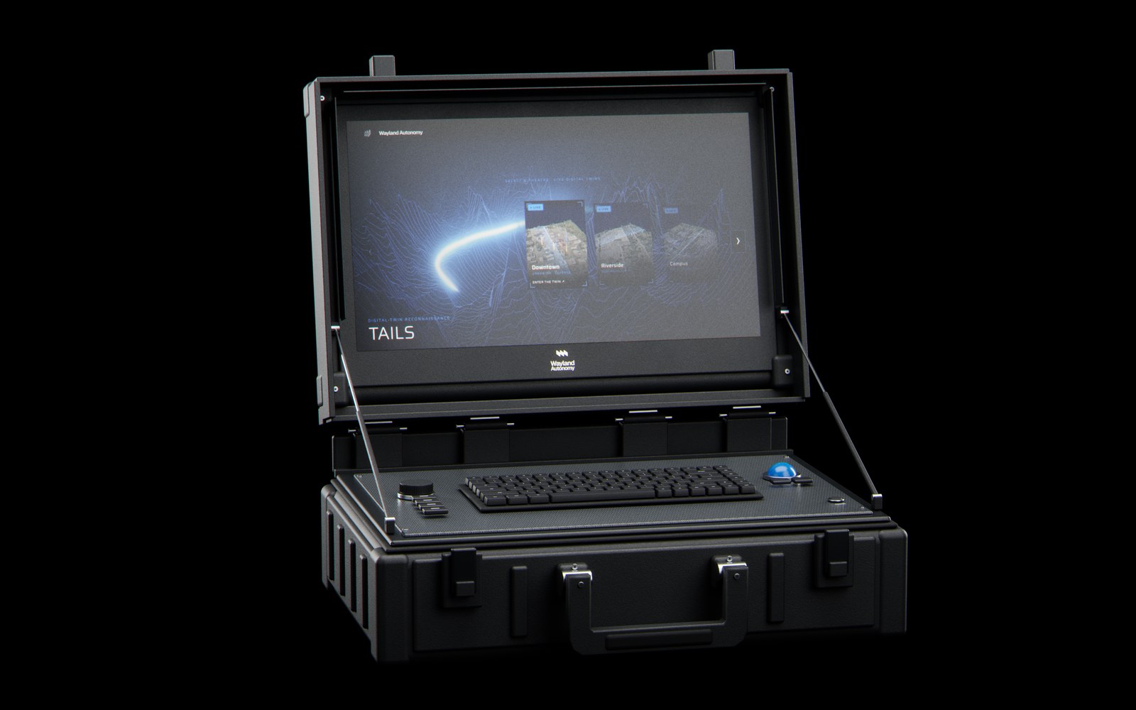 Explore DEN
Search
DEN
Rugged operator console
Query the ground in seconds.
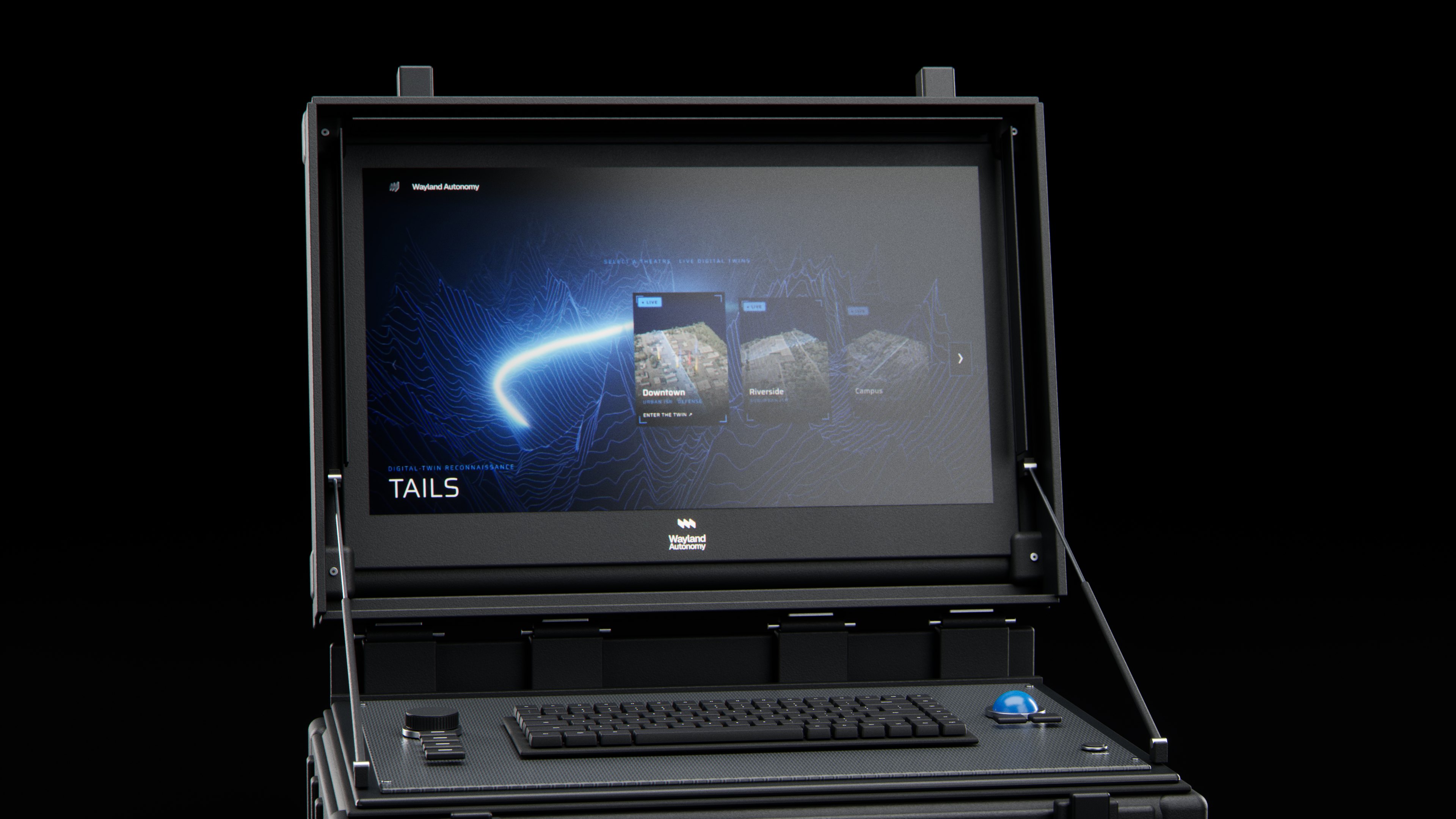
The live map · The digital twin
One living ground.
Every detection, traced.
Every detection placed on the ground in real time, on a photoreal 3DGS twin you can measure, orbit and replay.
- 01
Perceive
Each source lands in one coordinate frame and aligns to the same ground.
- 02
Decide
Detection, change, and priority layers ride a persistent 3DGS twin.
- 03
Remember
Every state is recallable.
AUSA 2026 · Washington, D.C. · 12 to 14 October
The film from our booth opens with the show.

Team
Real people behind the model.
Operators and engineers with deep domain expertise, from aviation and mining to mapping, rendering, and autonomy.
 Shai de-ToledoCo-Founder & CEO
Entrepreneur and operator who built and scaled one of Asia's largest mine-to-market supply chains, and pioneered its blockchain-based traceability on Microsoft Azure, recognized in Fortune's 'Change the World' Top-15. Leads Wayland's overall strategy and operations.
 Eatay Ben ShechterCo-Founder & Chief Technology Officer
Pioneer of visual and thermal-inertial photogrammetry, digital-twin systems, and GPS-denied mapping. Led the Deep Horizon disaster-mapping operation in the Gulf of Mexico and designs Wayland's high-throughput mapping payloads.
 Motti ShechterCo-Founder & Head of Strategy
Three-decade aerospace and defense veteran with multiple exits: co-founded Beamhit (acquired by L3Harris) and was the first investor in BlueBird Aero Systems (acquired by Israel Aerospace Industries), where he helped bring its VTOL ISR platforms to operational deployment. Sets product and market strategy for Wayland.
 James SummervilleCo-Founder & Chief Operating Officer
Military aviation veteran and former C-130 Hercules navigator, with deep operational experience in aerial imaging, photogrammetry, and payload integration. Sits on Wayland's board and leads operations, payload integration, and field testing.
 Richard ShaverVP, Hardware Engineering
Over 30 years building and testing high-reliability aerial-imaging hardware and rapid prototypes. Responsible for prototype build, ruggedization, and hardware integration at Wayland.
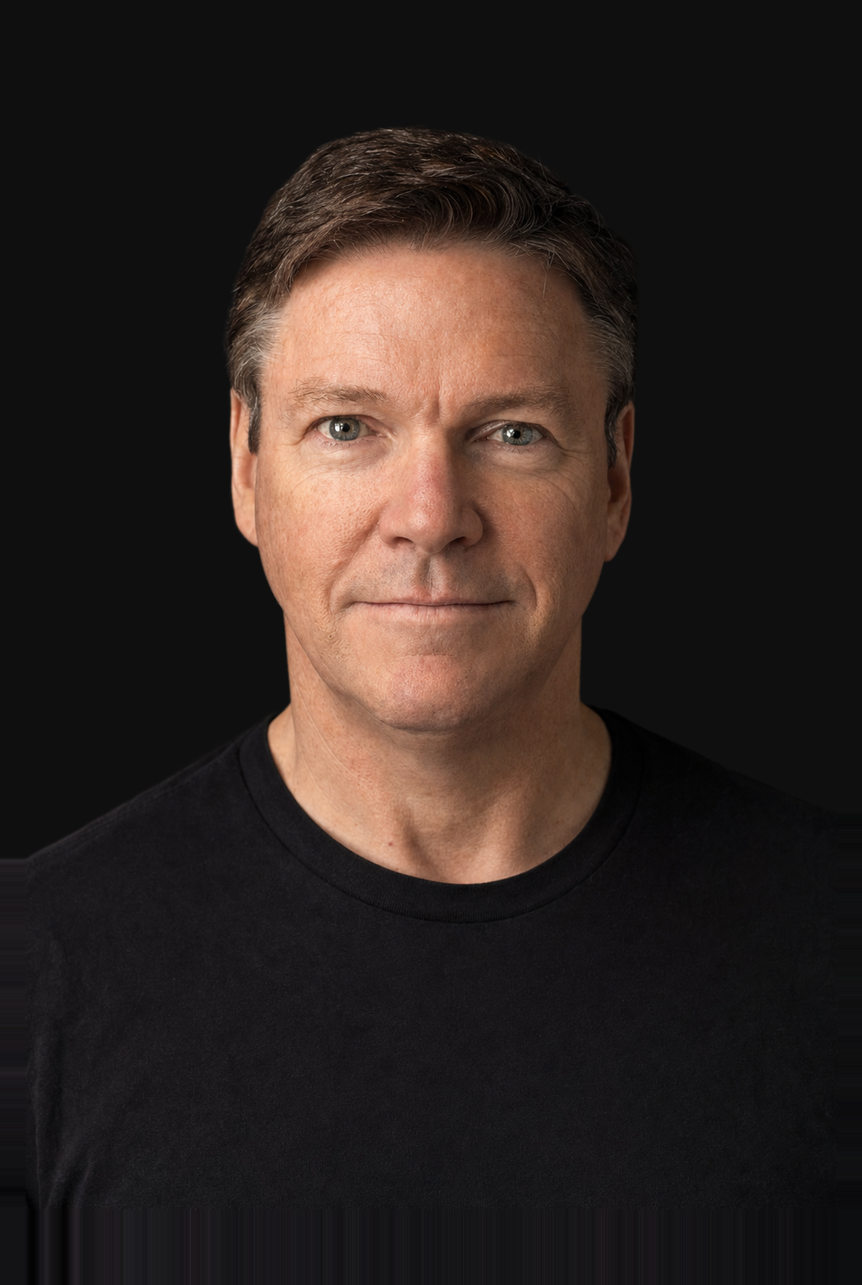 Scott ColemanVP, Software Engineering
Senior software engineer and VP of Software with 30 years of experience in embedded systems, real-time software, networking, and connected devices. Has developed technology for companies including Apple, Raytheon, GridPoint, and Raritan, and leads Wayland's embedded software, sensor integration, and onboard processing development.
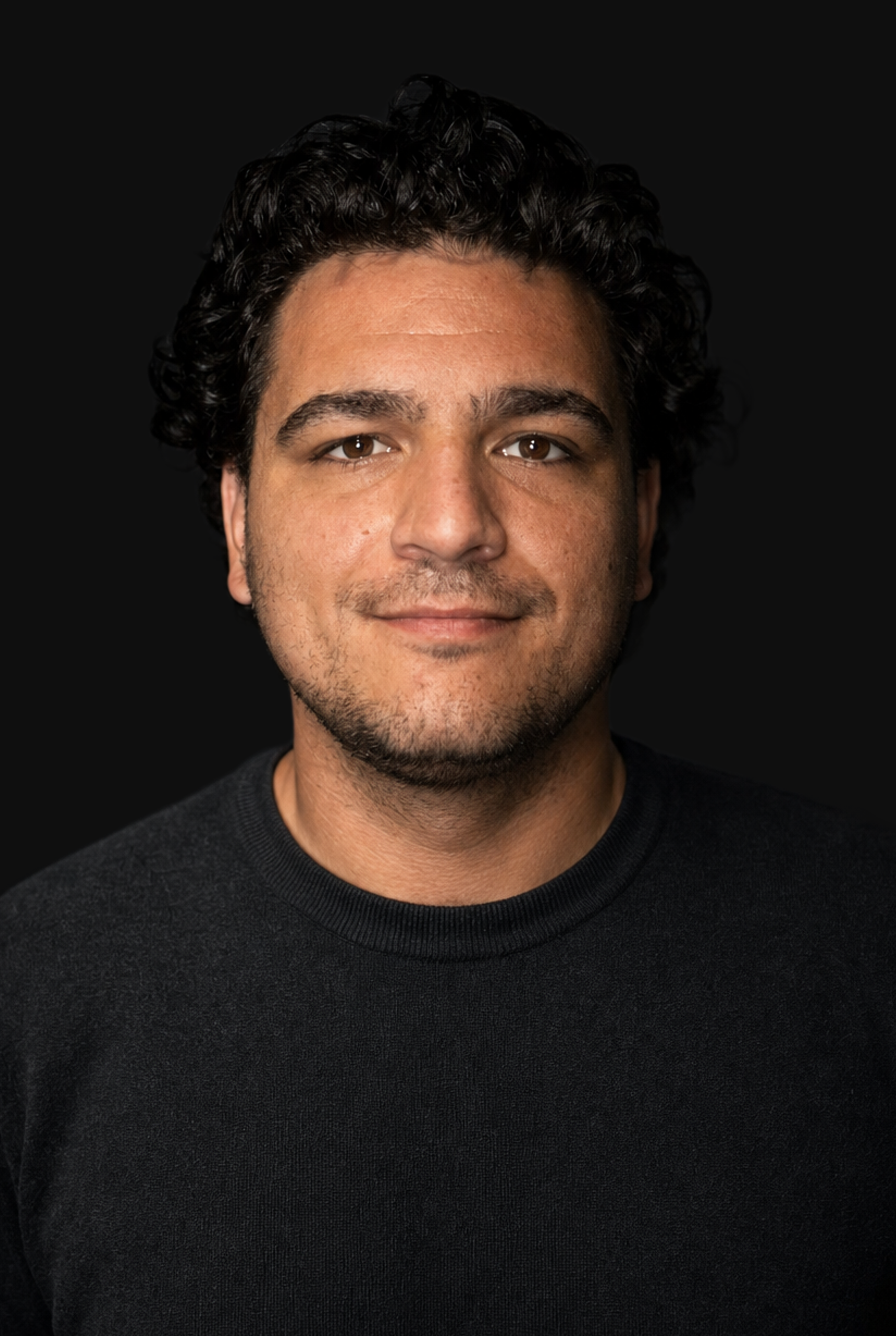 Ian MacDonaldStaff Geospatial Platform Engineer
Geospatial software engineer focused on mapping systems, terrain data, and ground-station software. Builds and runs the geospatial platform behind Wayland's ground software.
- Shai de-Toledo
Built and scaled one of Asia's largest mine-to-market supply chains, and pioneered its blockchain-based traceability on Microsoft Azure, recognized in Fortune's 'Change the World' Top-15.
- Eatay Ben Shechter
Led the Deep Horizon disaster-mapping operation in the Gulf of Mexico.
- Motti Shechter
Co-founded Beamhit (acquired by L3Harris) and was the first investor in BlueBird Aero Systems (acquired by Israel Aerospace Industries).
- Scott Coleman
Has developed technology for companies including Apple, Raytheon, GridPoint, and Raritan.
Contact
Request access
Wayland Autonomy onboards a limited number of partners. Tell us your organization, your domain, and what you need to find. We'll scope a deployment.